Home > Arts > Artists > A > Battista Agnese
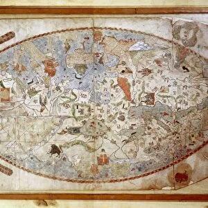
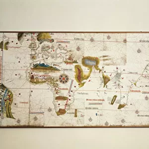
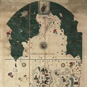
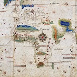
Pacific Ocean, from Atlas of the World in thirty-three Maps, by Battista Agnese, 1553

![]()
Wall Art and Photo Gifts from Universal Images Group (UIG)
Pacific Ocean, from Atlas of the World in thirty-three Maps, by Battista Agnese, 1553
Cartography, 16th century. The Pacific Ocean, from Atlas of the World in thirty-three Maps, by Battista Agnese, 1553
Universal Images Group (UIG) manages distribution for many leading specialist agencies worldwide
Media ID 9571667
© DEA / A. DAGLI ORTI
16th Century Agnese Battista Pacific Ocean
FEATURES IN THESE COLLECTIONS
> Arts
> Artists
> A
> Battista Agnese
> Universal Images Group (UIG)
> Art
> Painting, Sculpture & Prints
> Cartography
EDITORS COMMENTS
This print showcases a remarkable piece of history - the Pacific Ocean as depicted in Battista Agnese's Atlas of the World in thirty-three Maps, dating back to 1553. A true testament to the artistry and precision of 16th-century cartography, this antique map transports us back in time, allowing us to marvel at how our understanding of the world has evolved. With its horizontal orientation, this illustration and painting captures the vastness and grandeur of the Pacific Ocean like never before. The absence of people adds an air of mystery and solitude, emphasizing the sheer magnitude and untamed nature of these waters. As we gaze upon this ancient map, we are reminded that it represents more than just geographical accuracy; it symbolizes mankind's insatiable thirst for exploration and discovery. It serves as a tangible link between past and present, reminding us that even centuries ago, humans were driven by curiosity to explore uncharted territories. This print from Universal Images Group (UIG) is not merely a decorative piece but rather a portal into history itself. Its rich colors and intricate details transport us on an imaginary voyage across time and space. Whether you're an avid collector or simply appreciate historical artifacts, this stunning depiction will undoubtedly captivate your imagination with its beauty and significance.
MADE IN THE USA
Safe Shipping with 30 Day Money Back Guarantee
FREE PERSONALISATION*
We are proud to offer a range of customisation features including Personalised Captions, Color Filters and Picture Zoom Tools
SECURE PAYMENTS
We happily accept a wide range of payment options so you can pay for the things you need in the way that is most convenient for you
* Options may vary by product and licensing agreement. Zoomed Pictures can be adjusted in the Cart.