Home > Europe > Italy > Campania > Naples
Map of Naples

![]()
Wall Art and Photo Gifts from Universal Images Group (UIG)
Map of Naples
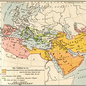
Map of Naples 1835
Universal Images Group (UIG) manages distribution for many leading specialist agencies worldwide
Media ID 20165313
1830s Antiquarian Antiquarian Maps Geneology Journeys Naples Travels Treks Trips Voyage Napoli
FEATURES IN THESE COLLECTIONS
> Europe
> Italy
> Campania
> Naples
> Universal Images Group (UIG)
> History
> Historical Maps
EDITORS COMMENTS
This print showcases the exquisite "Map of Naples 1835" a true relic from the 19th century. With its intricate details and historical significance, this antique map takes us on a visual journey through time to explore the enchanting city of Naples, Italy. Dating back to the 1830s, this antiquarian masterpiece offers a glimpse into Europe's rich cultural heritage. Its delicate lines and faded colors evoke a sense of nostalgia, transporting us to an era when cartography was both an art form and a scientific endeavor. The Map of Naples serves as more than just a geographical guide; it is also an invaluable resource for genealogists and history enthusiasts alike. It provides insights into ancestral roots, tracing family connections that span generations. This treasure trove of information invites us to unravel the stories embedded within its contours. As we gaze upon this old-world gem, our imagination runs wild with visions of past travels and epic voyages taken by intrepid explorers who ventured across land and sea. The map becomes not only a window into Napoli's past but also an invitation for future treks yet to be embarked upon. Preserved meticulously by PicturesNow UIG from Universal Images Group (UIG), this remarkable print captures the essence of discovery and curiosity that lies at the heart of human exploration. Whether displayed in homes or educational institutions, it serves as a testament to our enduring fascination with maps as gateways to knowledge about distant lands and forgotten times.
MADE IN THE USA
Safe Shipping with 30 Day Money Back Guarantee
FREE PERSONALISATION*
We are proud to offer a range of customisation features including Personalised Captions, Color Filters and Picture Zoom Tools
SECURE PAYMENTS
We happily accept a wide range of payment options so you can pay for the things you need in the way that is most convenient for you
* Options may vary by product and licensing agreement. Zoomed Pictures can be adjusted in the Cart.