Home > Maps and Charts > Related Images
Map Regnum Poloniae divisum magnum ducatum Lithuaniae

![]()
Wall Art and Photo Gifts from Liszt Collection
Map Regnum Poloniae divisum magnum ducatum Lithuaniae
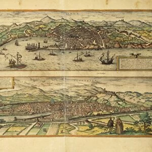
Map, Regnum Poloniae divisum in magnum ducatum Lithuaniae, magnam parvam que Poloniam, Prussiam, albam et rubram Russiam, Volhyniam, Podoliam, Ukraniam, accedit omnium distributio in suos palatinatus, cum circumjacentibus regnis, Gerhard Valk (-1726), Copperplate print
Liszt Collection of nineteenth-century engravings and images to browse and enjoy
Media ID 19584993
© Artokoloro
1726 Copperplate Print Gerhard Valk
EDITORS COMMENTS
This copperplate print, titled "Map Regnum Poloniae divisum magnum ducatum Lithuaniae" takes us on a journey through the historical lands of Poland and Lithuania. Created by Gerhard Valk in 1726, this intricate map showcases the grand division of territories within these regions. The detailed cartography reveals the vast expanse of land encompassing Poland, Lithuania, Prussia, Russia (both white and red), Volhynia, Podolia, Ukraine, and their respective palatinates. Each area is meticulously delineated with precision and accuracy. As we explore this ancient map, we are transported back in time to an era when borders were defined differently than they are today. The rich history embedded within these lands becomes evident as we observe the distribution of power among neighboring kingdoms. Gerhard Valk's expertise shines through in this remarkable copperplate print. His mastery of engraving techniques brings life to every line and contour on the map. The attention to detail is truly awe-inspiring. Whether you are a history enthusiast or simply appreciate fine craftsmanship, this print from Liszt Collection is sure to captivate your imagination. It serves as a testament to the artistry involved in cartography during that period while providing valuable insights into the geopolitical landscape of Eastern Europe centuries ago.
MADE IN THE USA
Safe Shipping with 30 Day Money Back Guarantee
FREE PERSONALISATION*
We are proud to offer a range of customisation features including Personalised Captions, Color Filters and Picture Zoom Tools
SECURE PAYMENTS
We happily accept a wide range of payment options so you can pay for the things you need in the way that is most convenient for you
* Options may vary by product and licensing agreement. Zoomed Pictures can be adjusted in the Cart.