Home > Europe > United Kingdom > England > London > Boroughs > Merton
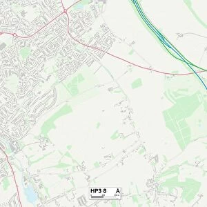
Reigate and Banstead KT20 5 Map

![]()
Wall Art and Photo Gifts from Map Marketing
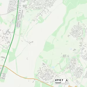
Reigate and Banstead KT20 5 Map
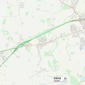
Postcode Sector Map of Reigate and Banstead KT20 5
Media ID 19973138
Ashurst Road Avenue Close Bramber Close Broadfield Close Campion Drive Chapel Road Cross Road Devizes Road Dorking Road Dover Road Downs View Downs Way Fairacres Fleetwood Close Gorse Close High Street Hill View Close Hurst Road Kings Court Kingswood Road Kinloch Road Linden Close Mallow Close Meon Close Mere Road Mill Road New Road Oaklands Way Preston Lane Reigate And Banstead Reigate Road The Avenue The Dell The Green The Rise The Walled Garden Tower Road Trinity Close Watermead Watts Lane West Drive White Lodge Close Bayeux Delves Heathcote Hudsons Russells Stewart Tadworth Waterfield Wessels Wilsons
FEATURES IN THESE COLLECTIONS
> Animals
> Birds
> Columbiformes
> Doves
> Related Images
> Arts
> Artists
> W
> Wilson Wilson
> Europe
> United Kingdom
> England
> London
> Boroughs
> Merton
> Europe
> United Kingdom
> Scotland
> Lothian
> Related Images
> Europe
> United Kingdom
> Scotland
> West Lothian
> Related Images
> Map Marketing
> Postcode Sector Maps
> KT - Kingston upon Thames
> Maps and Charts
> Related Images
> North America
> United States of America
> New York
> New York
> Sights
> Wall Street
MADE IN THE USA
Safe Shipping with 30 Day Money Back Guarantee
FREE PERSONALISATION*
We are proud to offer a range of customisation features including Personalised Captions, Color Filters and Picture Zoom Tools
SECURE PAYMENTS
We happily accept a wide range of payment options so you can pay for the things you need in the way that is most convenient for you
* Options may vary by product and licensing agreement. Zoomed Pictures can be adjusted in the Cart.