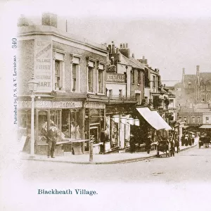
Home > Europe > United Kingdom > England > London > Towns > Blackheath
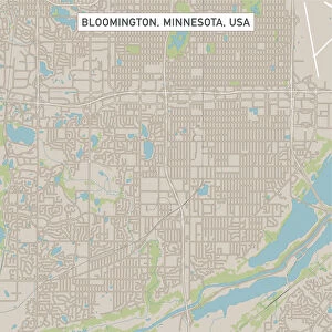
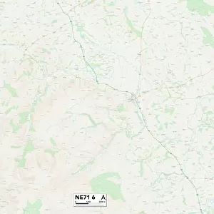
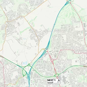
Sunderland NE37 1 Map

![]()
Wall Art and Photo Gifts from Map Marketing
Sunderland NE37 1 Map
Postcode Sector Map of Sunderland NE37 1
Media ID 19974602
Armstrong Road Beechcroft Birkdale Close Bristol Avenue Buttermere Cambridge Avenue Carnoustie Cheviot Close Coach Road Coniston Drive Durham Avenue Elswick Road Farm Close Fell Close Ganton Close Gleneagles Drive High Croft Lambert Road Moorside Nairn Close Oxford Avenue Parsons Road Portrush Close Red Lion Lane Rosemount Close St Andrews Avenue Sunderland Sunningdale Drive The Copse The Fairway The Farthings Troon Close Ullswater Drive Wentworth Drive Whitworth Road Albany Blencathra Downfield Elterwater Grizedale Kentmere Loch Lomond Loweswater Mardale Portmarnock Saddleback
FEATURES IN THESE COLLECTIONS
> Animals
> Birds
> Passerines
> Wattled Crows
> Saddleback
> Europe
> United Kingdom
> England
> Bristol
> Bristol
> Europe
> United Kingdom
> England
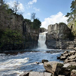
> Durham
> Durham
> Europe
> United Kingdom
> England
> Durham
> Sunderland
> Europe
> United Kingdom
> England
> Durham
> Waldridge
> Europe
> United Kingdom
> England
> London
> Sights
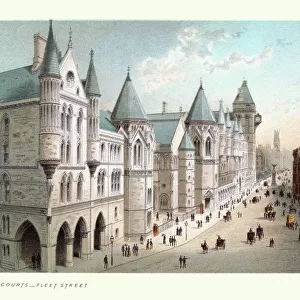
> High Court
> Europe
> United Kingdom
> England
> London
> Towns
> Blackheath
> Europe
> United Kingdom
> England
> London
> Transport
> Buses
> Europe
> United Kingdom
> Northern Ireland
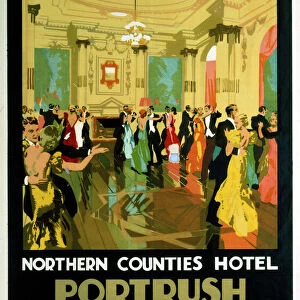
> County Antrim
> Portrush
> Europe
> United Kingdom
> Scotland
> Angus
> Carnoustie
> Map Marketing
> Postcode Sector Maps
> NE - Newcastle upon Tyne
MADE IN THE USA
Safe Shipping with 30 Day Money Back Guarantee
FREE PERSONALISATION*
We are proud to offer a range of customisation features including Personalised Captions, Color Filters and Picture Zoom Tools
SECURE PAYMENTS
We happily accept a wide range of payment options so you can pay for the things you need in the way that is most convenient for you
* Options may vary by product and licensing agreement. Zoomed Pictures can be adjusted in the Cart.