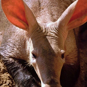
Home > Animals > Mammals > Muridae > Steppe Mouse
Earth. Satellite image of the Earth, centred on North America

![]()
Wall Art and Photo Gifts from Science Photo Library
Earth. Satellite image of the Earth, centred on North America
Earth. Satellite image of the Earth, centred on North America. The North Pole is at upper centre. Water is blue, vegetation is green, arid areas are brown, and snow and ice are white. Both land and ocean floor topography are shown. The terrain of North America is marked by mountain ranges on the western coast, deserts in the south-west, and large lakes in the north-east. The shades of green vary, showing central plains, marshes in the far north, swamps in the south-east and forests in the north-west. Surrounding North America (clockwise from top) is the Arctic Ocean, Greenland, and the Atlantic Ocean (beyond which are Asia, Europe and Africa), South America and the Pacific Ocean
Science Photo Library features Science and Medical images including photos and illustrations
Media ID 6348875
© PLANETOBSERVER/SCIENCE PHOTO LIBRARY
Africa African Arctic Arctic Ocean Atlantic Ocean Cartography Continent Desert Earth Observation Earth Science Globe Greenland Himalayas Ice Cap Image Indian Ocean Madagascar Mediterranean Middle East Mountains Northern Hemisphere Photos Round Sahara Scandinavia Sciences Solar System Sphere Spherical Steppes Topography Vegetation Computer Artwork Indian Subcontinent
FEATURES IN THESE COLLECTIONS
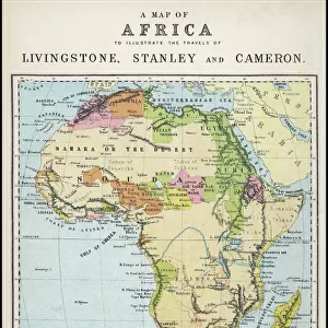
> Africa
> Madagascar
> Related Images
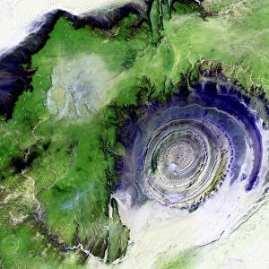
> Africa
> Related Images
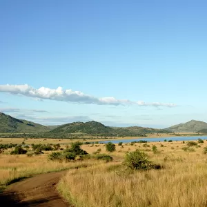
> Africa
> South Africa
> Lakes
> Related Images
> Africa
> South Africa
> Related Images
> Africa
> Western Sahara
> Related Images
> Animals
> Mammals
> Muridae
> Desert Mouse
> Animals
> Mammals
> Muridae
> Plains Mouse
> Animals
> Mammals
> Muridae
> Steppe Mouse
> Animals
> Mammals
> Muridae
> Water Mouse
> Animals
> Mammals
> Muridae
> Western Mediterranean Mouse
EDITORS COMMENTS
This print of Earth showcases the stunning beauty and intricate details of our planet. Taken from a satellite image, it provides a mesmerizing view centred on North America, with the North Pole positioned at the upper centre. The vibrant blue hues depict the vastness of water bodies, while lush green shades represent thriving vegetation. Arid areas are portrayed in earthy brown tones, and snow-covered regions appear pristine white. The topography of both land and ocean floor is intricately displayed, allowing us to appreciate the diverse terrain that characterizes North America. From majestic mountain ranges along the western coast to expansive deserts in the southwest and immense lakes in the northeast – this image captures it all. As we explore beyond North America's borders, we witness its surrounding elements: clockwise from top lie the Arctic Ocean, Greenland, Atlantic Ocean (leading to Asia, Europe, and Africa), South America, and finally merging into Pacific Ocean waters. This remarkable illustration not only highlights geographical features but also showcases various ecosystems across continents. From central plains to marshes in far north regions; swamps in southeast territories; forests dominating northwest landscapes – each shade of green signifies unique habitats found within our planet's diverse tapestry. Gazing upon this awe-inspiring print reminds us of Earth's incredible natural wonders and encourages us to cherish its delicate balance for future generations.
MADE IN THE USA
Safe Shipping with 30 Day Money Back Guarantee
FREE PERSONALISATION*
We are proud to offer a range of customisation features including Personalised Captions, Color Filters and Picture Zoom Tools
SECURE PAYMENTS
We happily accept a wide range of payment options so you can pay for the things you need in the way that is most convenient for you
* Options may vary by product and licensing agreement. Zoomed Pictures can be adjusted in the Cart.