Home > Europe > United Kingdom > England > Oxfordshire > Brize Norton
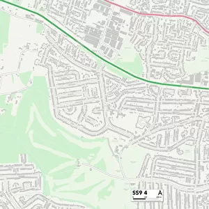
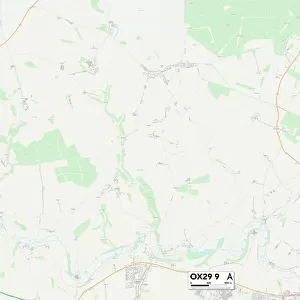
West Oxfordshire OX29 0 Map

![]()
Wall Art and Photo Gifts from Map Marketing
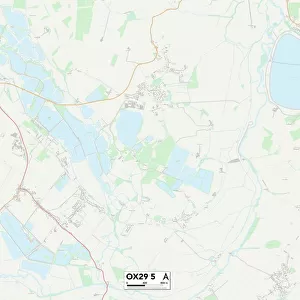
West Oxfordshire OX29 0 Map
Postcode Sector Map of West Oxfordshire OX29 0
Media ID 19978480
Burford Road Carrick Road Centenary Way Cotswold Close De Havilland Way Downs Road Eastwood Road Lovell Close Range Road Robinson Lane School Hill School Lane Southwood Road The Limes Townsend Road West Oxfordshire Westwood Road Wheatfield Drive Whitehall Close
FEATURES IN THESE COLLECTIONS
> Arts
> Artists
> J
> Richard Jones
> Arts
> Artists
> P
> Gordon Parks
> Europe
> United Kingdom
> England
> Oxfordshire
> Brize Norton
> Europe
> United Kingdom
> England
> Oxfordshire
> Burford
> Europe
> United Kingdom
> England
> Oxfordshire
> Related Images
> Map Marketing
> Postcode Sector Maps
> OX - Oxford
MADE IN THE USA
Safe Shipping with 30 Day Money Back Guarantee
FREE PERSONALISATION*
We are proud to offer a range of customisation features including Personalised Captions, Color Filters and Picture Zoom Tools
SECURE PAYMENTS
We happily accept a wide range of payment options so you can pay for the things you need in the way that is most convenient for you
* Options may vary by product and licensing agreement. Zoomed Pictures can be adjusted in the Cart.